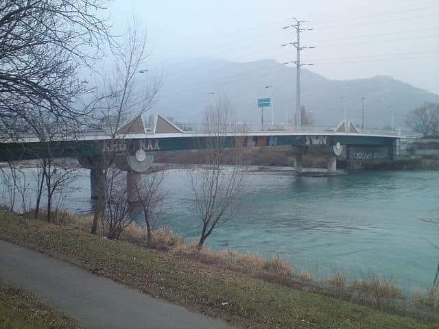
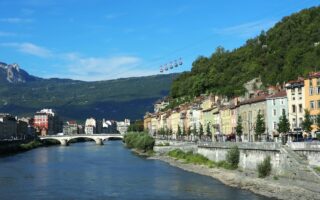
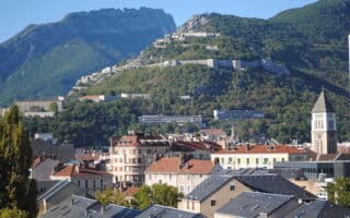
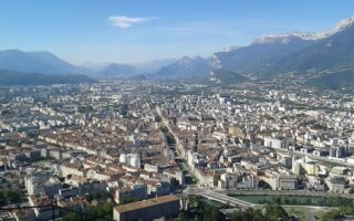
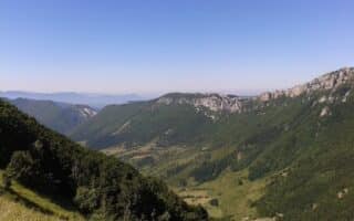
There are extensive multi-use paths along the Isère and Drac rivers in Grenoble. The rivers form a Y-shape in the valley. They’re a great opportunity for a long, flat run. The terrain varies from river views to more wooded sections. To your left, there often are great views of the Vercors, with Neuron Peak looming over the town. This route is for the Drac river path. See our separate route for the Isère river path. These two can be combined in various ways.
The Drac river path (Chemin de la Digue) is a mostly paved path just west of central Grenoble than runs from the D6 in Seyssins, north for 10 km to just past the Stade de Julien in Sassenage. You can continue for several km along the south side of the Isère River path to the D3 in Veurey-Voroize.
Add-Ons: See our Isère River route for more riverside running options.


Review or Comment on This Route/Share a Photo!
Share your feedback on this route and see that of other Great Runs users. Click on the image icon to upload a photo. And please let us know if there are notes or changes we should incorporate!