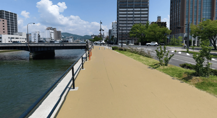
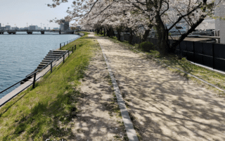
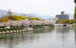
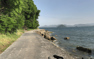
The path along the eastern side of the Tenma River is one of a series of centrally located river running options in Hiroshima. Some sections of the path are alongside the river below road grade, and there are various types of surface. The overall distance is 4.75 km, from the southern end just south of Highway 3 (Ebasarayama Park), north to the end at Shinwa Nursery. If you want to start more centrally, say at Peace Blvd., it’s 3 km south and 1.75 km north. Note: the path is open and exposed, use caution in heat and heavy rain.
Loop Options: It looks like work is ongoing on the western side of the Tenma River to improve the path. Another loop option is to return via the riverside path that leads to Central Park, then using Peace Blvd. to get back to the Tenma River path. This adds 1.5 km north of Shinwa Nursery, using the smaller bridge just east of Yokokawashin Bridge, north along the river, crossing Misasa Bridge to access the Central Park path.

Review or Comment on This Route/Share a Photo!
Share your feedback on this route and see that of other Great Runs users. Click on the image icon to upload a photo. And please let us know if there are notes or changes we should incorporate!