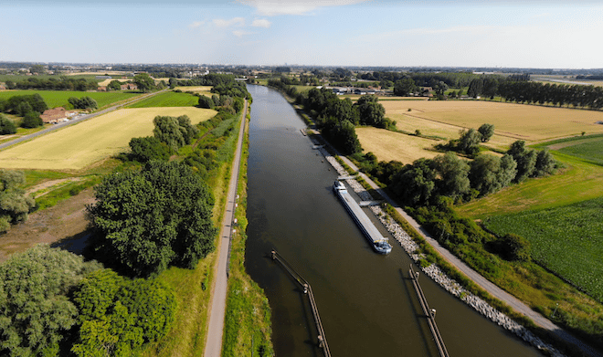
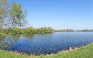
This is a pleasant run along the Deûle River headed north from Lille. A gravel path along the east side of the river goes for many, many km, as far as the Belgian border and beyond. We’ve mapped up to 10.2 km, from the D652 Highway north to the Belvédère observation point in Deûlémont. There are nice water views, and the landscape becomes increasingly pastoral as you head north.
From the D652 headed north, distances are:
3.3 km: R. Verte Galant
5.8 km: D36
10.2: Belvédère Observation Deck
Add-Ons: The path along the river continues for many additional km along what becomes the Leie River. See also our central Lille Deûle river run — there’s a ~2 km gap in the path between the two routes.

Review or Comment on This Route/Share a Photo!
Share your feedback on this route and see that of other Great Runs users. Click on the image icon to upload a photo. And please let us know if there are notes or changes we should incorporate!