
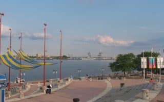
In the eastern part of Philadelphia, the Pennypack Trail follows Pennypack Creek for 16 miles from the Delaware River north to the Bucks County Line. The heart of this mainly wooded multi-use path, referred to as the ‘lower section’, follows Pennypack Park — a long linear park on the reclaimed grounds of a gristmil — for nearly 9 paved miles from the Delaware River to Pine Rd. The section around the Delaware is especially pretty. There are glimpses of the creek along the trail. There are additional trails in Pennypack Park, particularly the gravel Pennypack Path in the area of the Delaware River. NEW: Pennypack Connector links the Pennypack Path to the Pennypack Trail at State Rd. & Rhawn St.
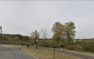
The Upper section continues from Pine Rd. to the Bucks County Line. At Pine St., use the Lorimer Park Chase Farm Trail along the creek to connect to the upper section of the Pennypack Trail, or pick it up at Shady Ln. This section is gravel and parklike, with some wooded and open sections. The trail ends just north of I-276, where the Newtown Rail Trail continues to Bristol Rd.
Add-Ons: There are additional trails in sections off the Greenway. See the trail map.


Review or Comment on This Route/Share a Photo!
Share your feedback on this route and see that of other Great Runs users. Click on the image icon to upload a photo. And please let us know if there are notes or changes we should incorporate!