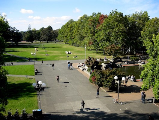
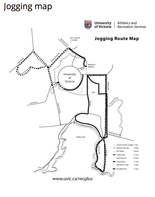
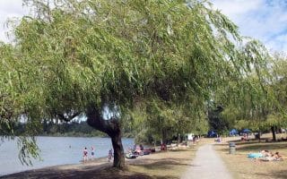
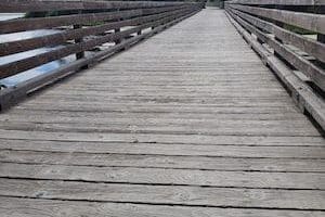
 Located about 6 km northeast of downtown, “UVic” is one of the prettiest college campuses in Canada. As a bonus for runners, there’s a series of paved and “chip” trails that are great for a standalone loop or as part of a campus ‘runseeing’ tour. The main campus is inside the “ring road”. We’ve put together a loop combining the Alumni Chip Trail, which skirts the outer perimeter of the university, and the central campus, inside the “ring road”. Start next to the McKinnon Gym and head west on the Alumni Trail. At 2 km, pass through the Finnerty Gardens. At the 4.7 km mark, where the trail meets Sinclair & Haro Rd., head west into the campus using the paths, keeping the Cadboro Commons on your right. Cross the Ring Rd. and enjoy the campus paths and buildings, before making your way back to the start.
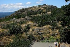
For a fun additional challenge, run to the top of Mount Tolmie! It’s a 1.7 mile add-on, climbing 150 feet, at 7-10% grades. Leave the Alumni Path and use Mayfair Dr., or the road/path right next to it. Great views from the summit!
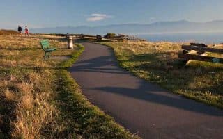
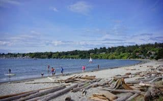
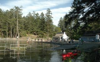
Add-Ons: There are several additional trails in and around UVic. Mystic Vale is great. The Cadboro Bay neighborhood to the east is pleasant for running, toward the water. Also, there’s a 2.5 km path through the Cedar Hill golf course, just to the east.


Review or Comment on This Route/Share a Photo!
Share your feedback on this route and see that of other Great Runs users. Click on the image icon to upload a photo. And please let us know if there are notes or changes we should incorporate!