In the west end of Atlanta, the best bet for running is the Historic West End neighborhood, and the Westside Beltline Trail, which binds the neighborhood.
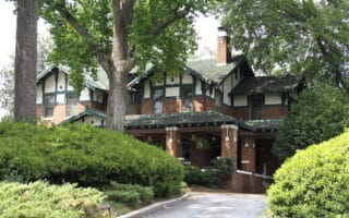
Historic West End. Some pleasant streets in the West End Historic District, which lies just west of W. Whitehall St. (SR 29) and south of I-20. (MARTA: West End). See this guide to the area from the National Park service
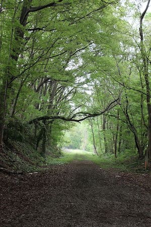
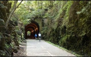
Westside Beltline. Wikimedia Commons.
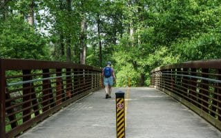
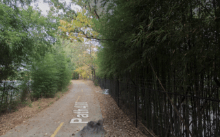
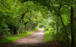
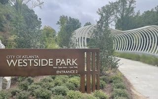
Westside Beltline Trail. The multi-use path runs for 5 miles between University Ave. and GA 78. It is mostly unpaved. The nicest section is the ~3 miles north of the 139 road to Maddox Park, passing through several small parks. There’s a running track at the Booker T. Washington High School. At GA 78, the Westside Beltline Connector Trail runs another ~1 mile alongside Marietta Blvd. north to West Marietta St. NW, or 1.6 miles southeast to Joseph E Boone Blvd. NW, near Rodney Cook Sr. Park.
In the west end of Atlanta, the best bet for running is the Historic West End neighborhood, and the Westside Beltline Trail, which binds the neighborhood.
Historic West End. Some pleasant streets in the West End Historic District, which lies just west of W. Whitehall St. (SR 29) and south of I-20. (MARTA: West End). See this guide to the area from the National Park service
Westside Beltline. Wikimedia Commons.
Westside Beltline Trail. The multi-use path runs for 5 miles between University Ave. and GA 78. It is mostly unpaved. The nicest section is the ~3 miles north of the 139 road to Maddox Park, passing through several small parks. There’s a running track at the Booker T. Washington High School. At GA 78, the Westside Beltline Connector Trail runs another ~1 mile alongside Marietta Blvd. north to West Marietta St. NW, or 1.6 miles southeast to Joseph E Boone Blvd. NW, near Rodney Cook Sr. Park.
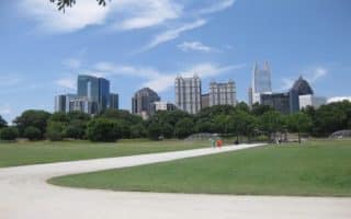
Piedmont Park is the Crown Jewel of the central Atlanta running scene. The 189 acre park was designed by Olmsted’s sons and features 4–5 miles of fairly hilly paved and gravel running trails, ranging from open meadows to wooded sections.
A 3.4 mile section of The Atlanta BeltLine trail in central Atlanta. Accessible from Piedmont Park/Midtown area. Best section is 2 miles from Piedmont Park south to Irwin St. Festive, with lots of sights & places to grab a bite.
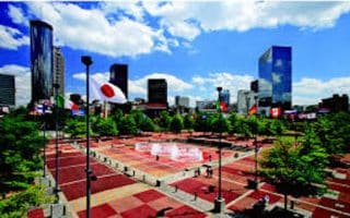
A 6.7 mile tour of Atlanta’s downtown landmarks, starting from one of the downtown hotels. Centennial Olympic Park, The World of Coca-Cola, CNN Center, The Georgia Dome, Aquarium, shops & restaurants. Can add the leafy Georgia Tech campus.
A 10k run with lots of sights and variety! Historic Grant Park and neighborhood, paths through beautifully landscaped Oakland Cemetery, a loop around the state Capitol, and the track that's home to the Atlanta Track Club.
Freedom Park is one of Atlanta’s large city parks. Our two green, shaded routes are the 2.5 mile Freedom Parkway Trail, and a 3.6 mile loop, starting at the Carter Library, to Chandler Park. Olmsted Linear Park can be added or loop option.
Our recommendations for the best places to run in Buckhead -- Atlanta's most prestigious neighborhood, featuring gracious older homes, winding residential streets, and lovely parks. Includes the new Path 400 Greenway.
Run on this paved greenway through the heart of Buckhead, connecting neighborhoods, office and retail locations. 3.8 miles of the planned 5.2 miles is complete, from Lindbergh Dr. to Wieuca Rd., with an 0.5 mile road connection.
Atlanta's eastside features some wonderful residential neighborhoods for running, featuring tree-lined streets, good sidewalks, and older, historic homes. Explore the Historic Fourth Ward, Druid Hills, and Virgina-Highland.
East of downtown, there's wonderful running at Emory University, especially around the Lullwater Park preserve. From Emory, one can also run on the South Peachtree Creek Trail, 1.5 north to Mason Mill Park or 1.6 miles east to Medlock Park.
Good running in Atlanta's newest park and largest greenspace. 5 miles of paved trails, combination of woods & grassy meadows. Can combine with Proctor Creek Greenway, a 2.5-mile paved multi-use trail.
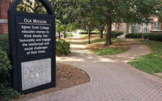
Decatur is a city northeast of Atlanta that has some good running spots. North of College Ave. is downtown and Woodland Gardens. South of College Ave., run around the campus of Agnes Scott College and surrounding residential streets.
These are some of the best options north of the city just off I-285 (“Perimeter”, Cumberland, Sandy Springs, and Dunwoody): Chastain Park, Cochran Shoals, Pallisades, and Alpharetta Greenway.
One of Atlanta’s major recreational destinations, 15 mi. from downtown. Numerous running options, from a gentler 5-mile loop around the park perimeter to some more advanced trail running. Also great hiking and trail running options.
One of Atlanta’s top areas for running and biking. Paved rail trail runs 61 miles from Atlanta’s northern suburb of Smyrna, west to the Alabama border. Our route includes a map of the first 20 miles.
Share your feedback on this route and see that of other Great Runs users. Click on the image icon to upload a photo. And please let us know if there are notes or changes we should incorporate!
Subscribe
0 Comments
Oldest
Newest
Inline Feedbacks
View all comments
Essentials
Westside Beltline Trail: 3.5 miles one-way
Flat
Beltline Trail: South End at University Ave; North End: Washington Park;
MARTA: West End; at Washington Park is the Ashby MARTA station








Review or Comment on This Route/Share a Photo!
Share your feedback on this route and see that of other Great Runs users. Click on the image icon to upload a photo. And please let us know if there are notes or changes we should incorporate!