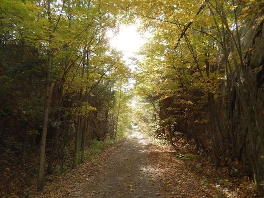
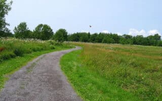
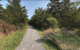
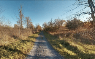
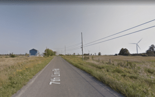
Choose a section of the long-distance Cataraqui Trail to get in a nice off-road run in the Kingston area! This multi-use path runs for 104 km between Smiths Falls and Strathcona and is a mainly gravel/dirt surface. The closest access points to Kingston are ~27 km north, in the area between Perth Road Village, Sydenham, and Harrowsmith. The first 42 km are fairly flat, combination of woods and farmland. Km 42-68 pass through a neck of the Canadian Shield called Frontenac Neck and are a bit more rugged. The eastern 30 km are flat farmland. There are some sections that are more remote.
TRAIL DESCRIPTION TRAIL MAP
Add-Ons: Connect to the K&P Trail in Harrowsmith.

Review or Comment on This Route/Share a Photo!
Share your feedback on this route and see that of other Great Runs users. Click on the image icon to upload a photo. And please let us know if there are notes or changes we should incorporate!