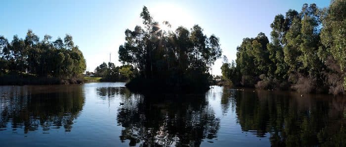
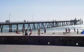
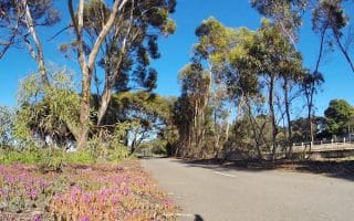
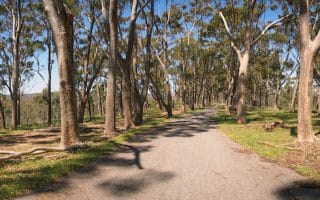
The Sturt River Linear Park Trail is another multi-use path west of Adelaide, close to Glenelg and the beaches. Named after Charles Sturt, British explorer of Australia, this paved, wide trail starts near Anzac Highway Bridge/Immanuel College and heads for 7.4 km southeast to the Warriparinga Wetlands near the Southeast Expressway. The Wetlands (which translate to “windy place by the river” in the Kaurna Aboriginal language) are a large open space used for environmental and cultural education. The path passes parks, playgrounds and historic sites including former market gardens. There are a few busy road crossings, so don’t expect a stop-free run.
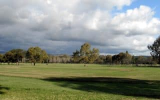
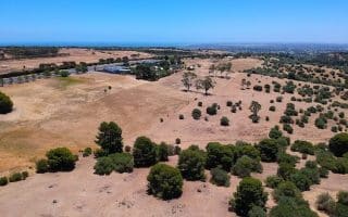
Add-On: The Oakland’s Wetland and Reserve is 2.5 km south from the start of the Sturt River Trail and can serve as a detour to not only add a couole more miles on gravel paths, but also view the local wildlife and protected species including the Grey-headed Flying-fox.
The Sturt River Linear Park Trail is another multi-use path west of Adelaide, close to Glenelg and the beaches. Named after Charles Sturt, British explorer of Australia, this paved, wide trail starts near Anzac Highway Bridge/Immanuel College and heads for 7.4 km southeast to the Warriparinga Wetlands near the Southeast Expressway. The Wetlands (which translate to “windy place by the river” in the Kaurna Aboriginal language) are a large open space used for environmental and cultural education. The path passes parks, playgrounds and historic sites including former market gardens. There are a few busy road crossings, so don’t expect a stop-free run.
Add-On: The Oakland’s Wetland and Reserve is 2.5 km south from the start of the Sturt River Trail and can serve as a detour to not only add a couole more miles on gravel paths, but also view the local wildlife and protected species including the Grey-headed Flying-fox.


Review or Comment on This Route/Share a Photo!
Share your feedback on this route and see that of other Great Runs users. Click on the image icon to upload a photo. And please let us know if there are notes or changes we should incorporate!