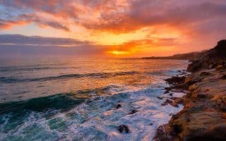
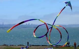
Some of the best running running in the United States can be found in the Bay area, featuring spectacular scenery and an incredible variety of terrain. Here’s our selection of the 30 runs best runs in the Bay area, stretching from Napa to Big Sur. Scroll down to see the routes. And below are some favorites by ‘theme’.
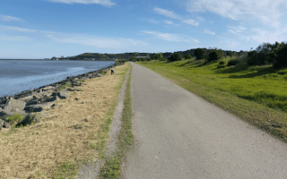
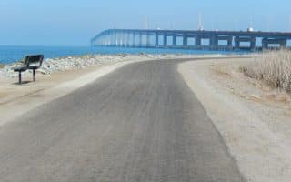
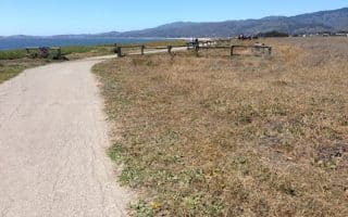
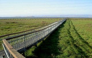
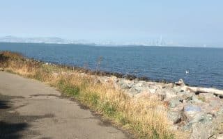
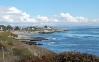
- Waterfront Paths. Crissy Field to GG Bridge; Bay Trail (East Bay); Half Moon Bay Trail; (SV) West Cliff Drive (Santa Cruz); Monterey Bay Coastal Trail; Slough Trails in Redwood City & the Baylands between Palo Alto and San Jose (Silicon Valley).
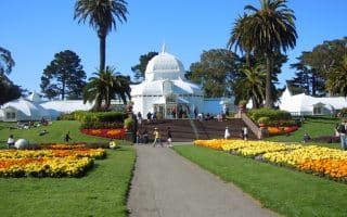
- Parks. Golden Gate Park
- Multi-Use Paths. San Francisco Bay Trail (south of SFO); Bay Trail (East Bay)
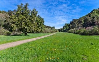
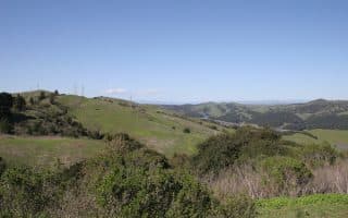
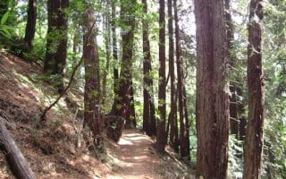
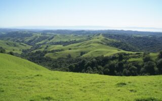
- Trail Running. Mount Tamalpais State Park; Parks and Preserves of Novato (SF North); Parks/Trails west of 280 (Silicon Valley); Redwood Regional Park (East Bay); Open space areas off I-680 in the East Bay (Pleasanton to Walnut Creek), Skyline Wilderness Park (Napa); Point Reyes; Jack London State Park (Sonoma)
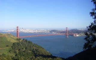
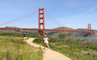
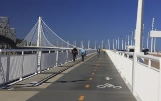
- Bridges: Golden Gate Bridge; Bay Bridge Trail
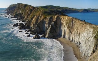
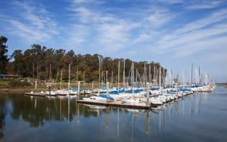
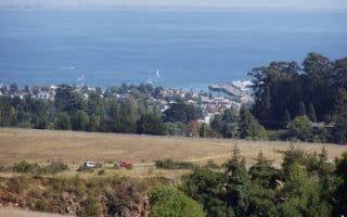
- Views. Golden Gate Bridge/Marin Headlands; Point Reyes National Seashore; Berkeley Marina; Sonoma Coast State Park; Wilder Ranch State Park (Santa Cruz)
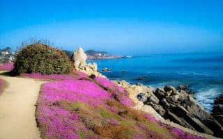
- Beaches for Running. Doran Regional Park (Sonoma); Ocean Beach (San Francisco); Crown Memorial State Beach (East Bay); Seacliff State Beach (Santa Cruz); Monterey Beach.
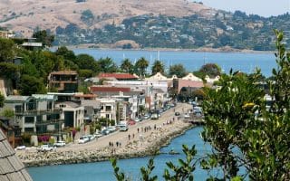
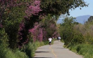
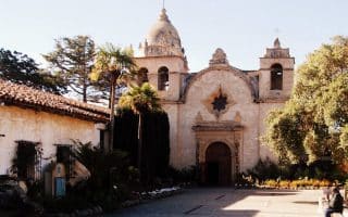
- Beautiful Neighborhoods. San Francisco Neighborhoods; Palo Alto; Piedmont Neighborhood (East Bay); Carmel Mission


Review or Comment on This Route/Share a Photo!
Share your feedback on this route and see that of other Great Runs users. Click on the image icon to upload a photo. And please let us know if there are notes or changes we should incorporate!