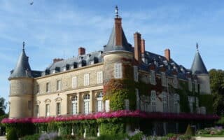
Saint Denis is a former industrial suburb situated 9 km due north of Paris. It’s known for its basilica and football team. Running highlights include routes along the Canal Saint Denis and nearby parks.
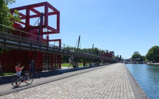
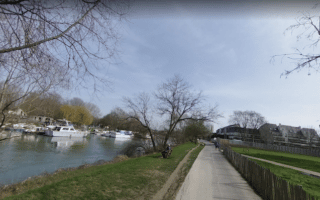
Canal Saint Denis: 6.7 km (4.1 miles) one-way. Fairly flat.
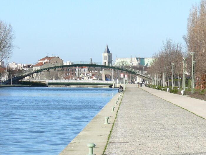
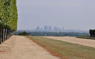
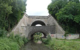
The 6.6 km Canal Saint Denis connects the communes of Auberville and Saint Denis to the Canal de l’Ourcq, beginning in the northern reaches of Paris in La Villette Park. Where Canal de l’Ourcq heads east, Canal Saint Denis bears north, followed by cement quays along the entirety of the east bank. Some sections are nicer than others, but the park-like atmosphere of the Saint Denis end is noteworthy. Some parts dedicated path, other parts sidewalk along canal. You’ll pass the 81,000 seat Stade de France. Good transport access. ROUTE MAP.
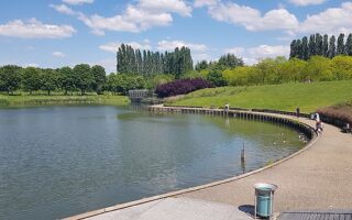
Parc Départemental Georges Valbon: Perimeter loop: 10 km. Elev. Gain: 80m
On the east side of Saint Denis, the Parc Départemental Georges Valbon is a lovely landscaped space with a diversity of paved and dirt trails. There is a lot for runners to explore here, from ponds to sculpture art. From the park entrance on D114, a generous perimeter loop is about 10 km. ROUTE MAP.
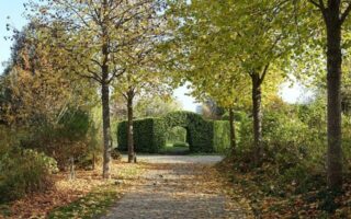
Parc Butte-Pinson: Perimeter loop: 2.5 km (1.5 miles), with additional options
Where the communes of Villetaneuse, Pierrefitte-sur-Seine, Montmagny, and Groslay converge, Parc Butte-Pinson is a 114 hectare preserve with both hard surfaced paths and a shady hiking trail. A loop about the grounds is 2.5 km, though there are more trails to the north surrounding the Butte-Pinson fort. ROUTE MAP.


Review or Comment on This Route/Share a Photo!
Share your feedback on this route and see that of other Great Runs users. Click on the image icon to upload a photo. And please let us know if there are notes or changes we should incorporate!