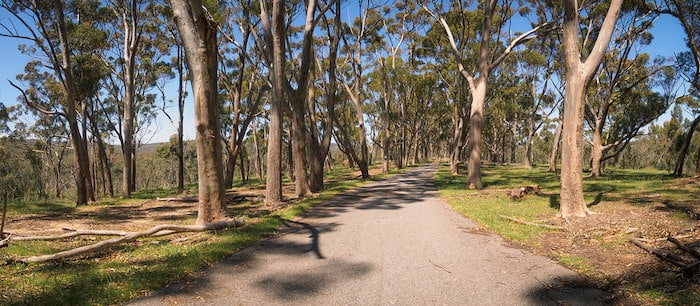
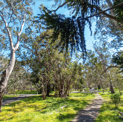
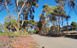
Belair National Park is a worth-it destination run! Located just 25 minutes southeast of Adelaide and easily accessible by train, South Australia’s oldest national park features many km of trails set in beautiful bushland. There are scenic trails for all levels, with terrain including open grassland, native woodlands, lakes, and waterfalls (in winter). There are also numerous sports & recreation facilities.
Belair National Park is a worth-it destination run! Located just 25 minutes southeast of Adelaide and easily accessible by train, South Australia’s oldest national park features many km of trails set in beautiful bushland. There are scenic trails for all levels, with terrain including open grassland, native woodlands, lakes, and waterfalls (in winter). There are also numerous sports & recreation facilities.
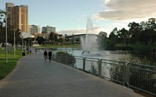
This route is a great combination of green space, water views, and Adelaide attractions. The most popular loop is 6.5 km, but overall the trail is 35 km from Henley Beach to the Adelaide hills.
Memorable 18 km trail forming a perimeter around and through 27 parks in north and south Adelaide. Great way to see the greenery and some city highlights. Good options to add-on or vary the distances.
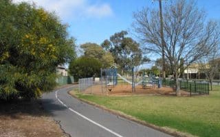
This 2.2 km loop of 'Park 10' is a popular location for early morning run and fitness groups. Located near the CBD, next to the zoo and botanic gardens. Do standalone or as part of longer river/park run.
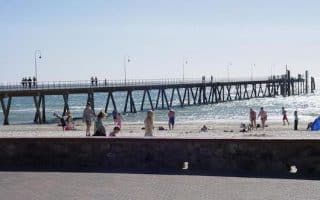
Wonderful coastal trail stretches for nearly 70 km. Glenelg is only 11 km from Adelaide and is a good anchor point. Popular options heading south to Brighton & Seacliff Beach, north to West Beach & Henley Beach.
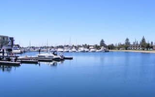
Pleasant 3.7 km loop around this lake known locally as 'The Pat'. Located just north of Glenelg, can be combined with our Coastal Trail or Airport Trail routes.
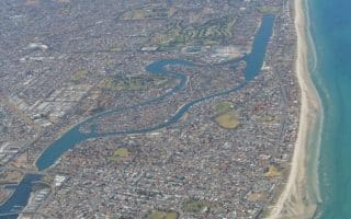
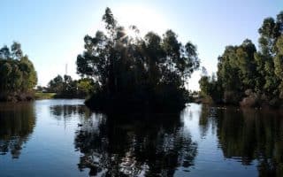
A paved 5.8 km path around this picturesque lake north of the city, adjacent to gorgeous lakefront homes. Can also be part of a longer route incorporating the Coastal Trail.
Paved, multi-use path west of Adelaide, close to Glenelg and the beaches. Starts near Anzac Highway Bridge and heads for 7.4 km southeast to the Warriparinga Wetlands. Oakland’s Wetland and Reserve is a nice add-on.
Good multi-usepath that runs for 10 km along a former rail run from Adelaide to Glenelg. Paved and entirely off road, except the western 2 km. One fun option is to run one-way and transit back!
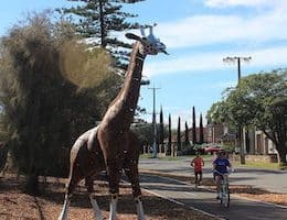
Multi-use path follows the Glenelg tramline from central Adelaide for 9.6 km to the coast. There are interesting metal sculptures along the trail, and some nice views. Run one way and return via tram!
Series of three interconnected paths around the airport: Anna Meares Bike Path, Reece Jennings Bikeway, Captain McKenna Pathway. Mix of more attractive and industrial sections. 9 km of trails, 12 km full loop.
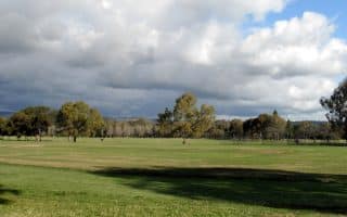
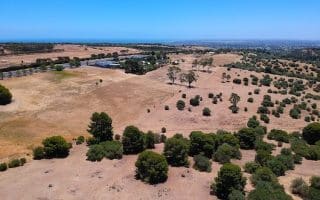
Located just 35 minutes south of Adelaide, the Happy Valley Reservoir offers several kilometers of scenic walking trails with views across the water to the Adelaide Hills. Combination of water views, pine forest, and open grassy areas. Hilly!
Share your feedback on this route and see that of other Great Runs users. Click on the image icon to upload a photo. And please let us know if there are notes or changes we should incorporate!

Review or Comment on This Route/Share a Photo!
Share your feedback on this route and see that of other Great Runs users. Click on the image icon to upload a photo. And please let us know if there are notes or changes we should incorporate!