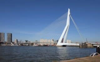
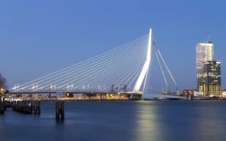
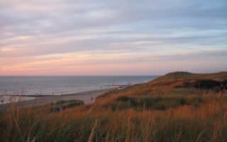
Running along the ‘right bank’ of the river Maas and into Het Park is a scenic and easily accessible route in central Rotterdam. There are paths and walkways along a series of canals and inlets, where you can do some fun ‘in and out’ running from the Erasmus Bridge, heading west into the Delfshaven neighborhood. We’ve mapped nearly 7 km (4.3 mi
les), starting from the Erasmus Bridge, ending at the west end of the ‘Bartel Wilkonade’ path. You can continue further, winding around more little canals, but it’s a bit more industrial and the path less seamless.
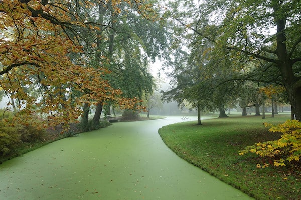
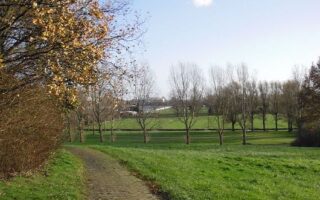
Het Park. Just about 1.5 km west of the Erasmus Bridge, enjoy a jaunt into Het Park. It’s a classic European park, designed in the 1850s in the English landscape style. There are numerous paths, and some of Rotterdam’s oldest trees. A run around the perimeter of the park is ~2 km, with an additional 1-2 km of interior paths.
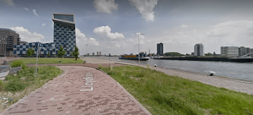
Google street view
Running along the ‘right bank’ of the river Maas and into Het Park is a scenic and easily accessible route in central Rotterdam. There are paths and walkways along a series of canals and inlets, where you can do some fun ‘in and out’ running from the Erasmus Bridge, heading west into the Delfshaven neighborhood. We’ve mapped nearly 7 km (4.3 mi
les), starting from the Erasmus Bridge, ending at the west end of the ‘Bartel Wilkonade’ path. You can continue further, winding around more little canals, but it’s a bit more industrial and the path less seamless.
Het Park. Just about 1.5 km west of the Erasmus Bridge, enjoy a jaunt into Het Park. It’s a classic European park, designed in the 1850s in the English landscape style. There are numerous paths, and some of Rotterdam’s oldest trees. A run around the perimeter of the park is ~2 km, with an additional 1-2 km of interior paths.
Scroll Down For Route Maps
Essentials
Waterside route is up to 7 km (4.3 miles) one way; Het Park perimeter is ~2 km, with additional paths
Depends on trail chosen
Walkable from city center; Or, Tram 8 or metro - Dijkzigt of Leuvehaven
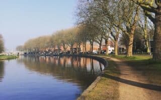
Paths along the Nieuwe Maas (river) are the signature running option in Rotterdam. It's not a straight river loop due to the complex geography. We've mapped out loops of 5 km, 10 km, and 21 km, with lots of options to vary.
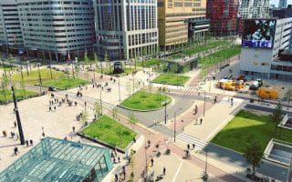
There's great running in central Rotterdam. This 'overview' and map provides a guide to some of the best spots: Historic center, Maas River paths, Het Park, Heemraadspark linear park, canal paths, Kralingse Lake.
A well-known 15 km loop incorporating five bridges and lots of waterside running, and provides a good overview of Rotterdam's unique geography and some main sights. This follows the course of a popular road race that occurs in early December.
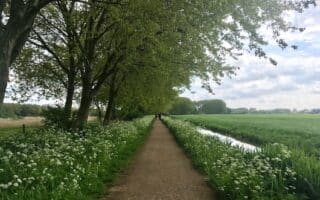
A series of trails in northern Rotterdam, forming a linear park. It's ~8 km from the Tram Museum, north through Prinsenmolenpark, Molenpark, Lage Bergse Bos Park, and Hoge Bergse Bos. Sections along water, in woods, through fields.
Pleasant 5 km loop around the perimeter of this lake. Only 3 km east of the center and easily reachable via transport. Dedicated paths and water views much of the way. Additional paths through woods on northern side of lake.
Lovely canal-side run from the historic city of Delft. Waterside path for up to 8 km to The Hague. We've also mapped a 5k loop in the Voordijkshoorn area, featuring several smaller canals and parks, the highlight of which is Hof van Delftpark.
A fabulous route in eastern Delft, nearly all off road, featuring paths along canals, around lakes, past farm fields and wetlands, and through woods. Use our mapped route as a guideline to create your own route around this area's large network of paths!
This route in Rijswijk, a few km north of central Delft, combines three adjacent parks: Elsenburgerbos, Wilheminapark, Hoekpolder. Combination of paths through woods, around fields and farms, and some canals in Hoekpolder.
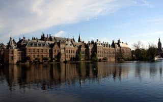
A 10k 'runseeing' tour of The Hague's central sections. Features 'Museum Row', the waterside Dutch Parliament and other government buildings, embassies, Koekamp and Malieveld parks, and fun pedestrian zones.
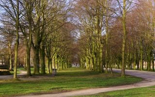
Two wonderful wooded parks for running, easily accessible. Each features long, wide alée-like paths. Scheveningen Woods can be combined with Westduinpark for a longer run. Hague Forest is the oldest forest in the Netherlands.
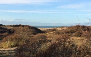
Extensive network of trails through dunes and woods, ~4.5 km from end-to-end. Located in Kijkduin. Good add-ons are along the beach, or across to port of Scheveningen and its boardwalk and beach running.
Many km of wonderful beach, boardwalk, and coastal park running in The Hague, divided into two areas: Kijkduin and Scheveningen. The beach is wide and quite runnable. Paved options include the 3 km boardwalk, and paths in Westduinpark & Oostduinpark.
Share your feedback on this route and see that of other Great Runs users. Click on the image icon to upload a photo. And please let us know if there are notes or changes we should incorporate!
Subscribe
0 Comments
Oldest
Newest
Inline Feedbacks
View all comments
Essentials
Waterside route is up to 7 km (4.3 miles) one way; Het Park perimeter is ~2 km, with additional paths
Depends on trail chosen
Walkable from city center; Or, Tram 8 or metro - Dijkzigt of Leuvehaven


Review or Comment on This Route/Share a Photo!
Share your feedback on this route and see that of other Great Runs users. Click on the image icon to upload a photo. And please let us know if there are notes or changes we should incorporate!