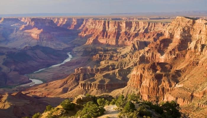
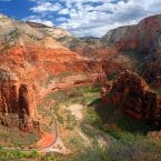
Located in northwestern Arizona, the Grand Canyon encompasses 277 miles of the Colorado River and adjacent uplands. It is known throughout the world for the vistas it offers to visitors on the rim, its overwhelming size and its intricate and colorful landscape. Geologically, it is significant because of the thick sequence of ancient rocks that are beautifully preserved and exposed in the walls of the canyon. These rock layers record much of the early geologic history of the North American continent. The park is divided into the North and South Rim. The North Rim is open mid-April to mid-October, and offers a more primitive viewing experience than the heavily visited South Rim. The South Rim is open year-round and houses the Park Headquarters in Grand Canyon Village. Runs outlined below are located in the South Rim.
Located in Arizona, 7,000 feet above sea level, heat and elevation can be challenges when it comes to running. Be aware of your physical ability, time your runs in the cooler mornings and afternoons, and drink plenty of water to combat these challenges.
Park Map
Rim Trail
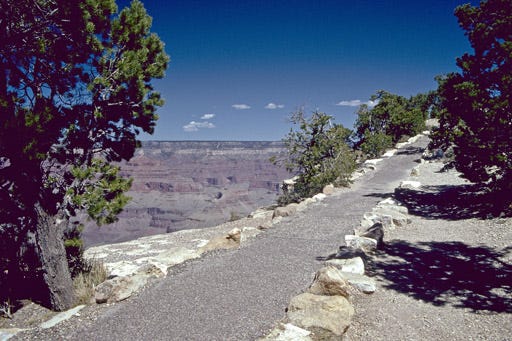
For minimal crowds and the best views, the park ranger suggests beginning from the Western end of the village at the Trailview Overlook and running West on the Rim Trail to Hermits Rest. Trailview Overlook to Hermits Rest is 7.4 miles one-way. If this is too much mileage no worries, the National Park shuttle bus service runs parallel to this route, so you have the option to begin your run from any viewpoint or return to your starting point on the shuttle. If your visiting for multiple days try a different section each day and you will not be sorry!
Greenway Trails
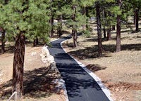
The Grand Canyon South Rim also has a network of Greenways throughout the Village and surrounding communities. These paths are paved and run through serene pine forests. Among the greenways is the Arizona National Scenic Trail. This trail is a continuous, 800+ mile scenic trail across Arizona from Mexico to Utah. It links deserts, mountains, canyons (including the Grand Canyon), communities and people. Running along the greenway trails does not provide canyon views (except the Hermit Road Greenway Trail mentioned above), but provides an appreciation of the natural landscape that leads into the canyon. An added bonus of running on these trails is shade, which might be a consideration if planning a run on a hot day. The greenways are accessible from any shuttle stop on the Village Route, so pick your route based on where you are staying and how far you wish to run.
Mather Campground Section
If you are staying at the Mather Campground, the Park Ranger recommends running to the Arizona National Scenic Trail. Begin by taking the greenway that begins in Mather Campground towards the Grand Canyon Visitors Center. Turn left following the greenway just before to get to the Visitors Center. Shortly, where greenway intersects the Rim Trail, turn Left. Run along the Rim Trail until you come to a T. Turn left onto the Arizona National Scenic Trail. Enjoy this beautiful trail for about 2.5 miles until you reach Center Rd. Turn left onto Center Rd. then a quick left back onto the Grand Canyon Village Greenway. This will return you to Mather Campground.


Comment on this Route/Share a Photo!
Share your feedback on this route and see that of other Great Runs users. Click on the image icon to upload a photo. And please let us know if there are notes or changes we should incorporate!
Good